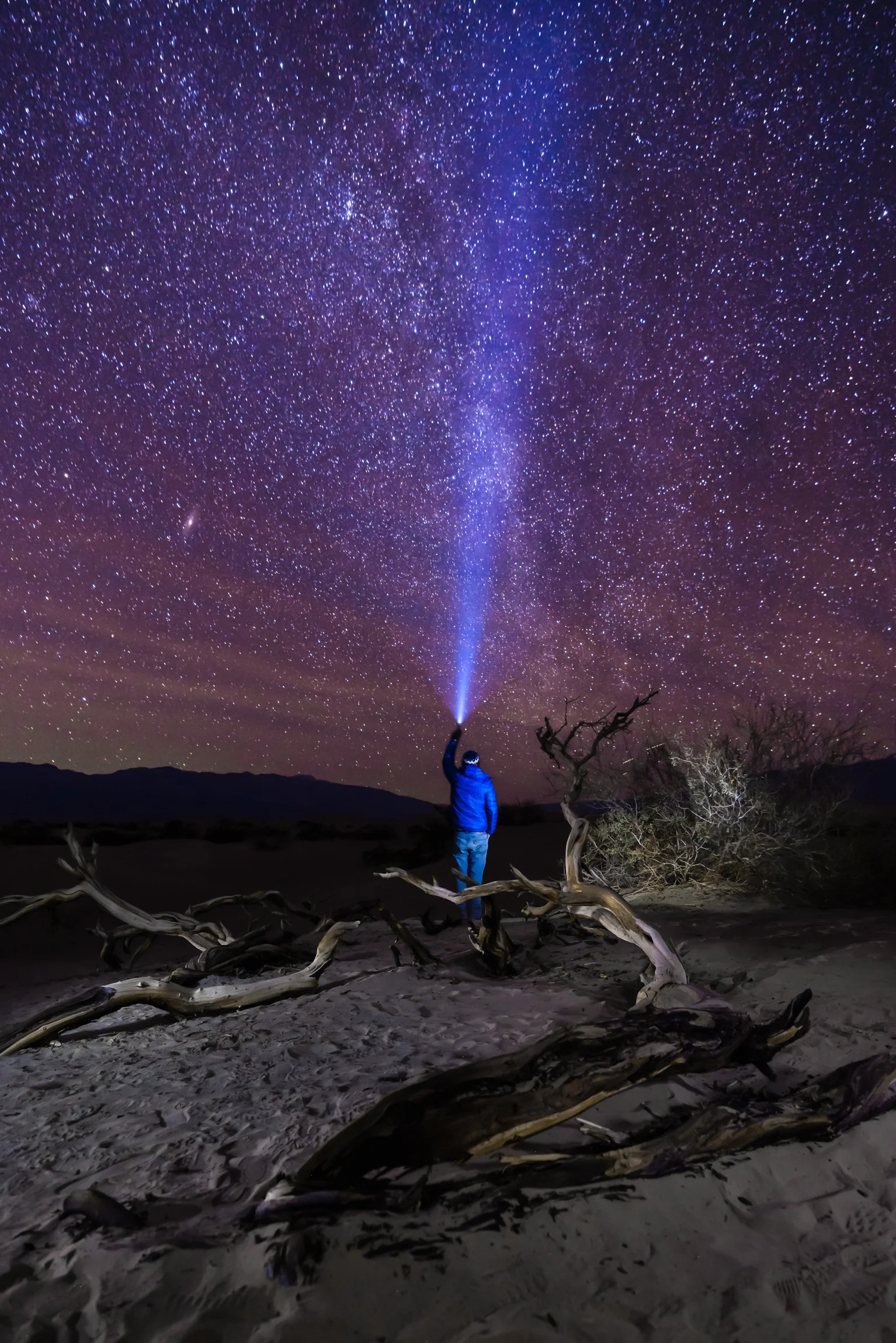
Star gazing on the Badwater Basin

Chasing Stars on the Badwater Basin


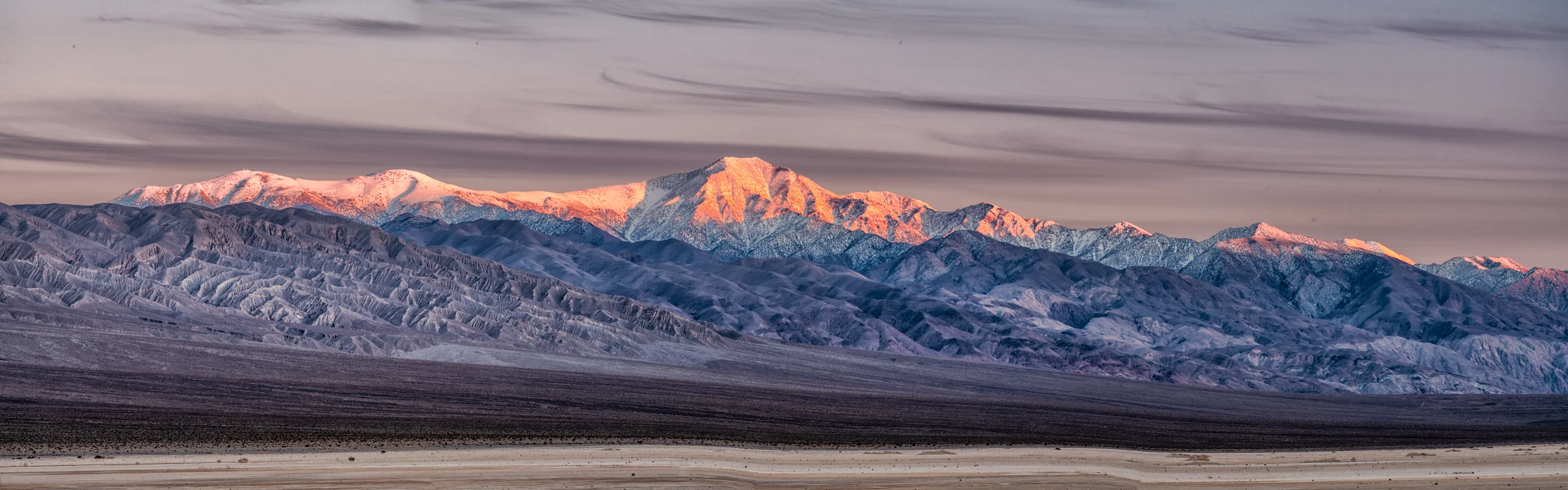
Zabriskie Point

Zabriskie Point

Zabriskie Point

Rhyolite Ghost Town (NV) by Beatty

Rhyolite Ghost Town (NV) by Beatty

Rhyolite Ghost Town (NV) by Beatty

Rhyolite Ghost Town (NV) by Beatty

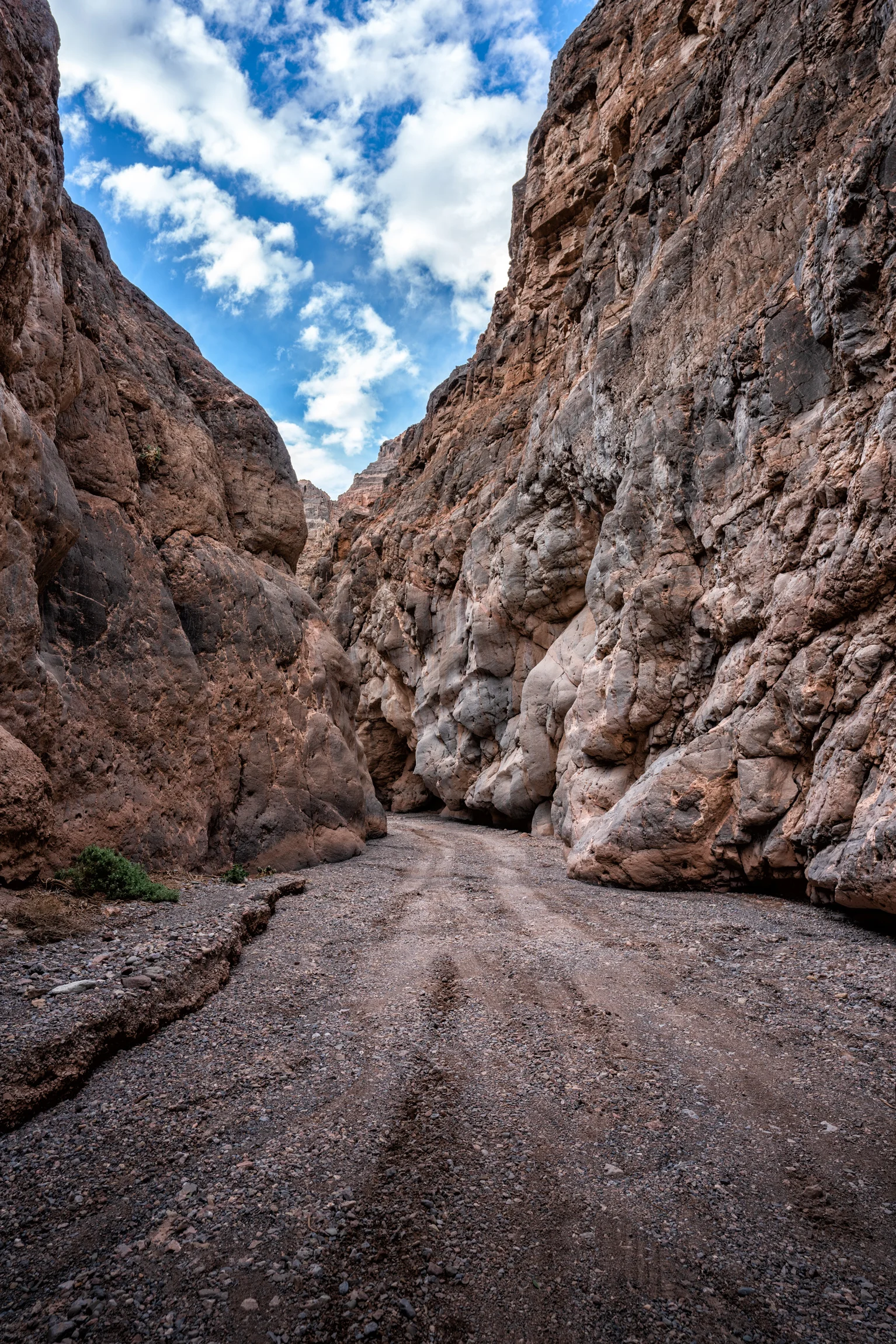
Titus Canyon Road (entrance)

Titus Canyon Road

Titus Canyon Road

Titus Canyon Road

Titus Canyon Road

Titus Canyon Road

Entrance to mine at Leadfield ghost town on Titus Canyon Road

Titus Canyon Road (last 3 miles)
Titus Canyon Road (last 3 miles)

Mesquite Flat Sand Dunes

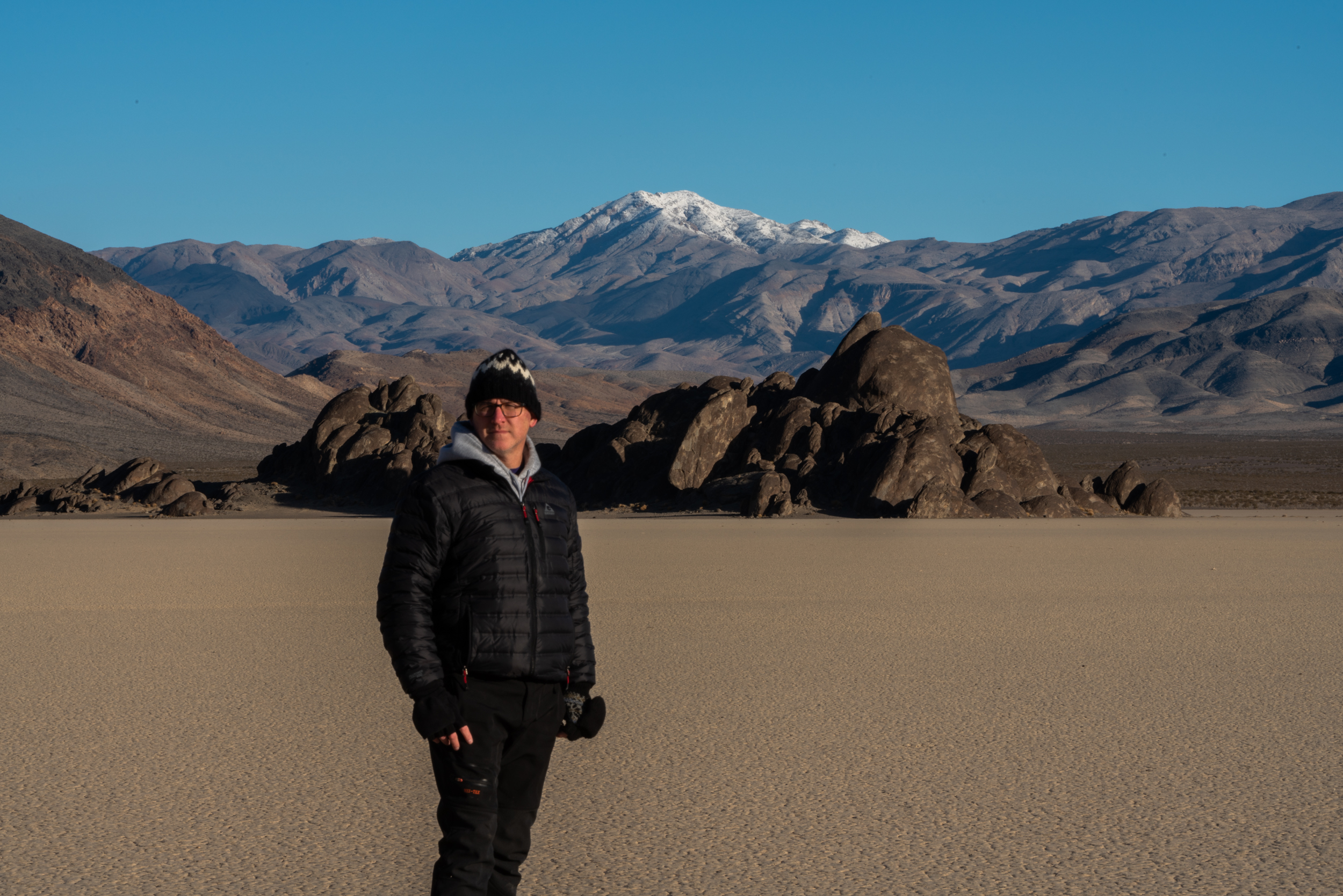
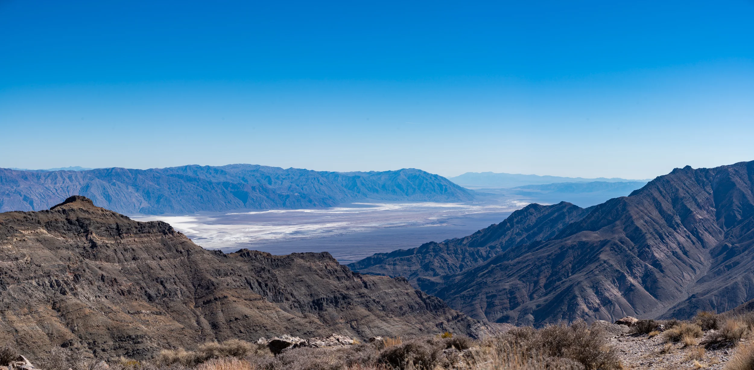
Floor of the Racetrack

Racetrack

Ubehebe Crater

Ubehebe Crater lip

Mosaic Canyon

Mosaic Canyon

Mosaic Canyon

Mosaic Canyon

Big Horn Sheep Skidoo Mines

Skidoo Mines

Skidoo Mines

Aguereberry Point (elevation 6433 ft)
Aguereberry Point (levation 6433 ft)

Northern Lights over Furnace Creek

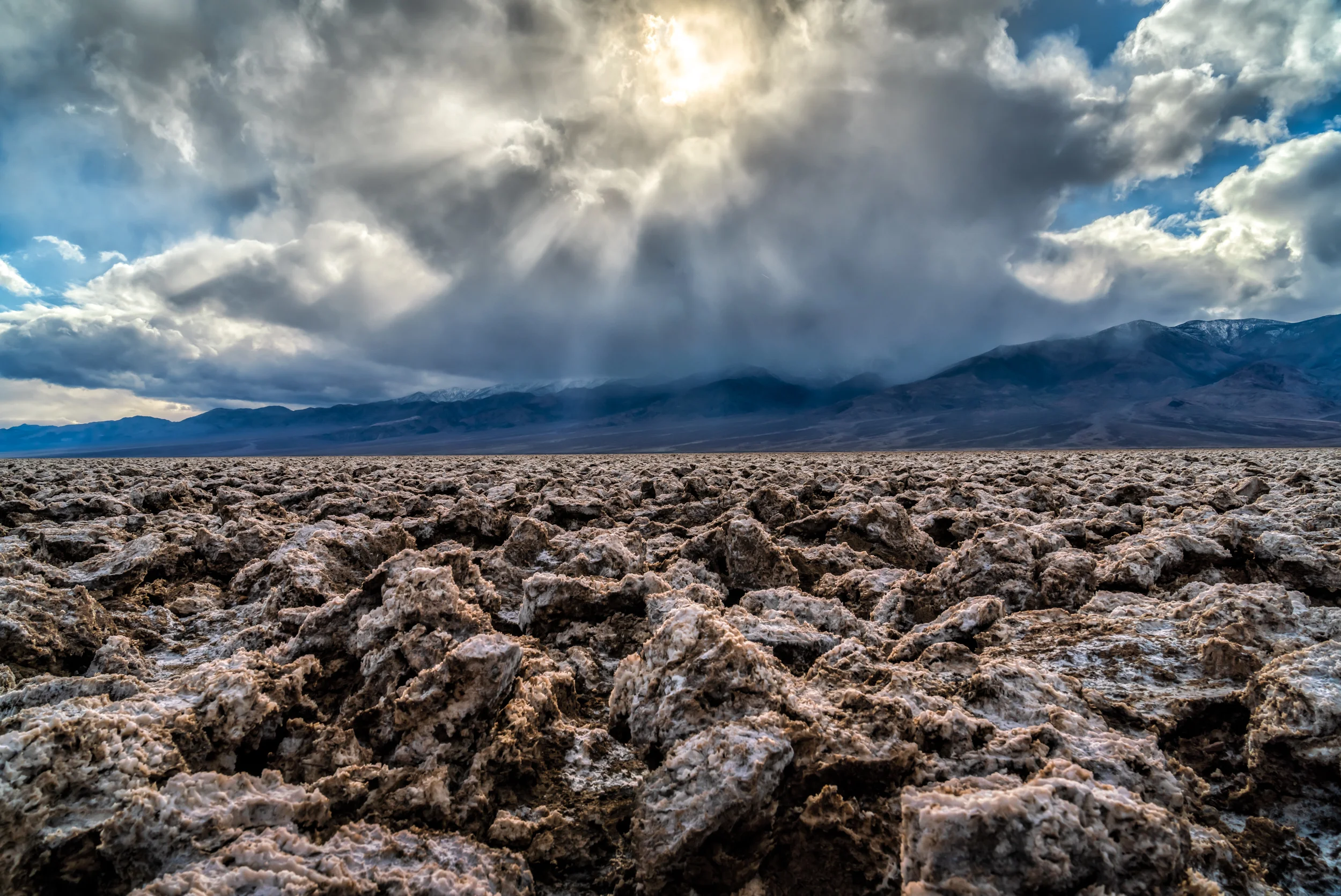
Devils Golf Course

Devils Golf Course (close up)

Badwater Basin
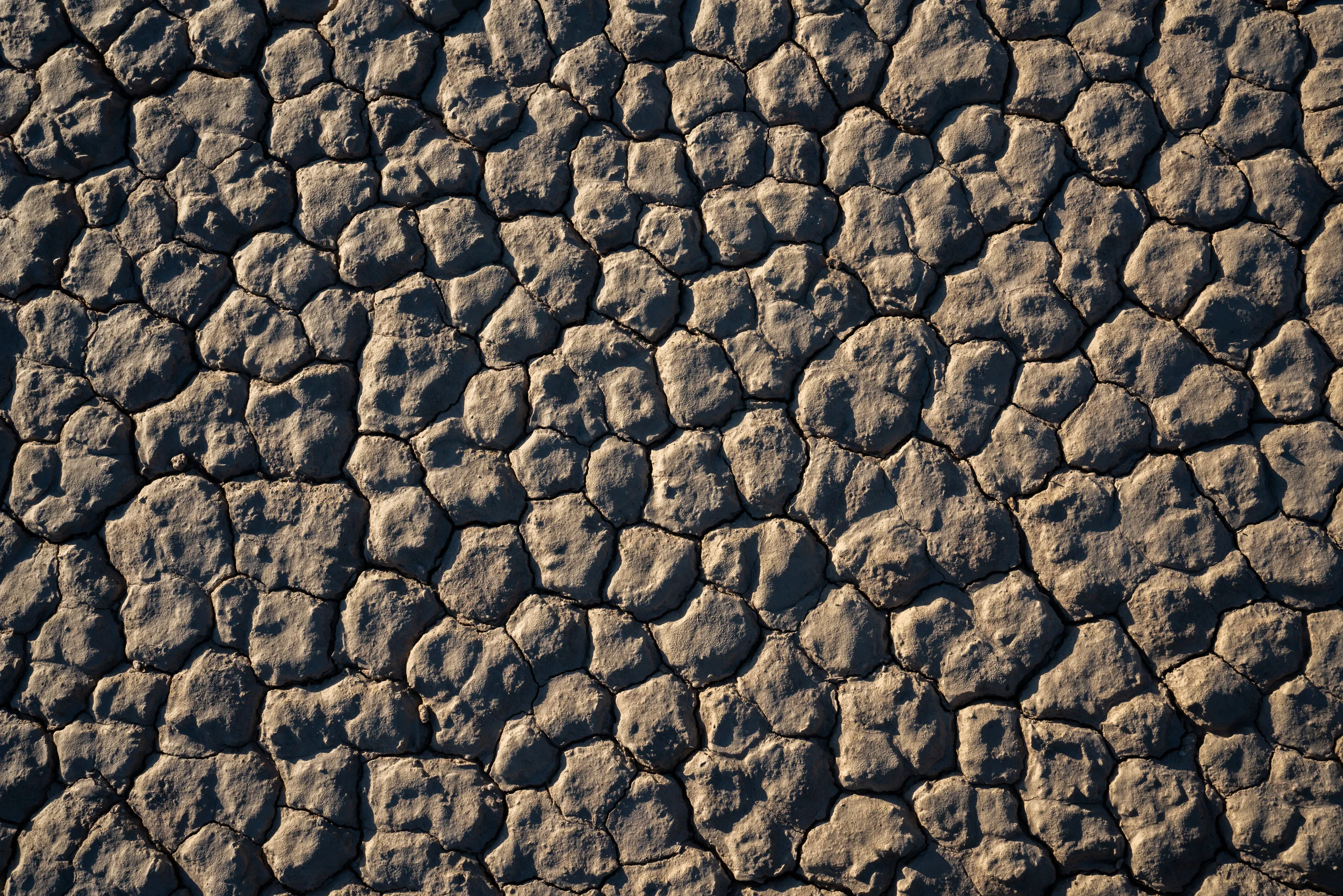
The site itself consists of a small spring-fed pool of "bad water" next to the road in a sink; the accumulated salts of the surrounding basin make it undrinkable, thus giving it the name. The pool does have animal and plant life, including pickleweed aquatic insects, and the Badwater snail.
Adjacent to the pool, where water is not always present at the surface, repeated freeze–thaw and evaporation cycles gradually push the thin salt crust into hexagonal honeycomb shapes.

My hidden Artist Palette off 190 below Badwater Basin

Badwater Basin

Golden Canyon Trail by starlight

Zabriskie Point

Zabriskie Point

Zabriskie Point

Zabriskie Point

Zabriskie Point

Zabriskie Point

Zabriskie Point

Zabriskie Point

Zabriskie Point

Mud cracks at Sidewinder trail

Mud cracks at Sidewinder trail
Devils Golf Course

Mesquite Flat Sand Dunes

Mesquite Flat Sand Dunes

Mesquite Flat Sand Dunes

Mesquite Flat Sand Dunes

Mesquite Flat Sand Dunes

Mesquite Flat Sand Dunes

Mesquite Flat Sand Dunes
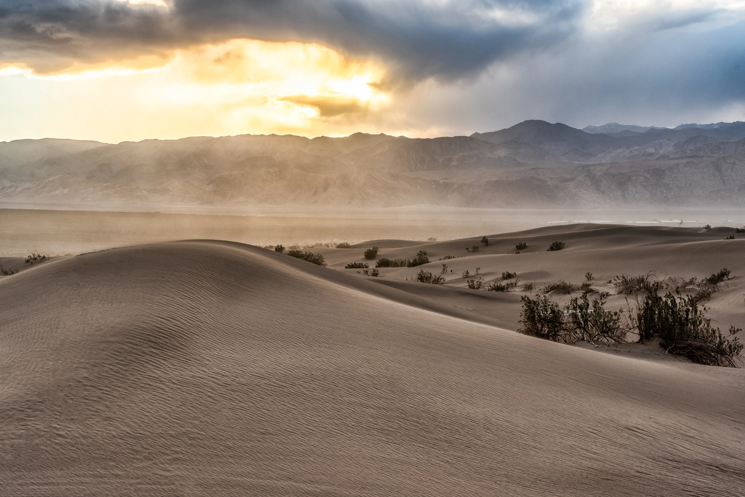
Mesquite Flat Sand Dunes
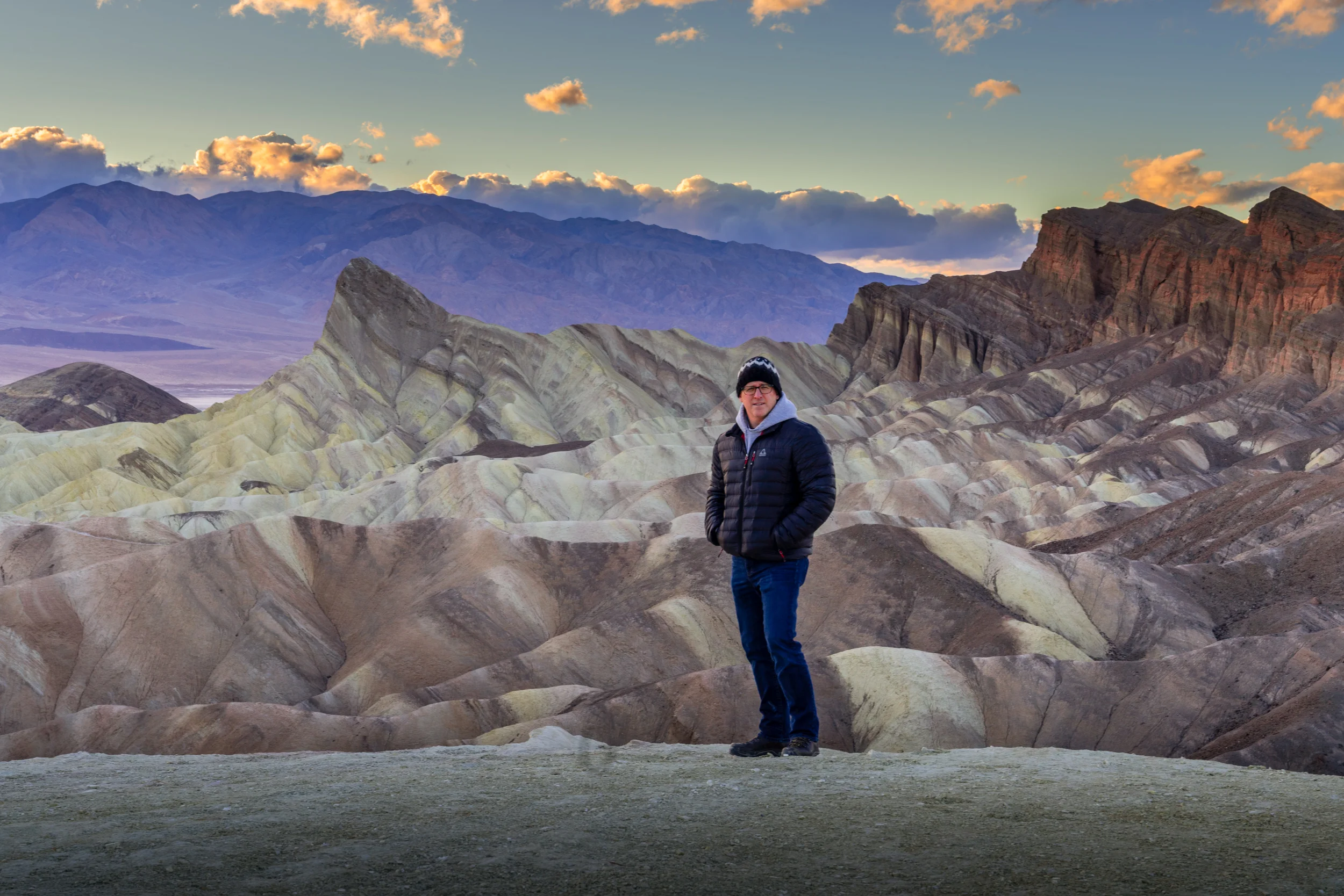
Zabriskie Point